

01
Do not mistake regional mapping for a site investigation
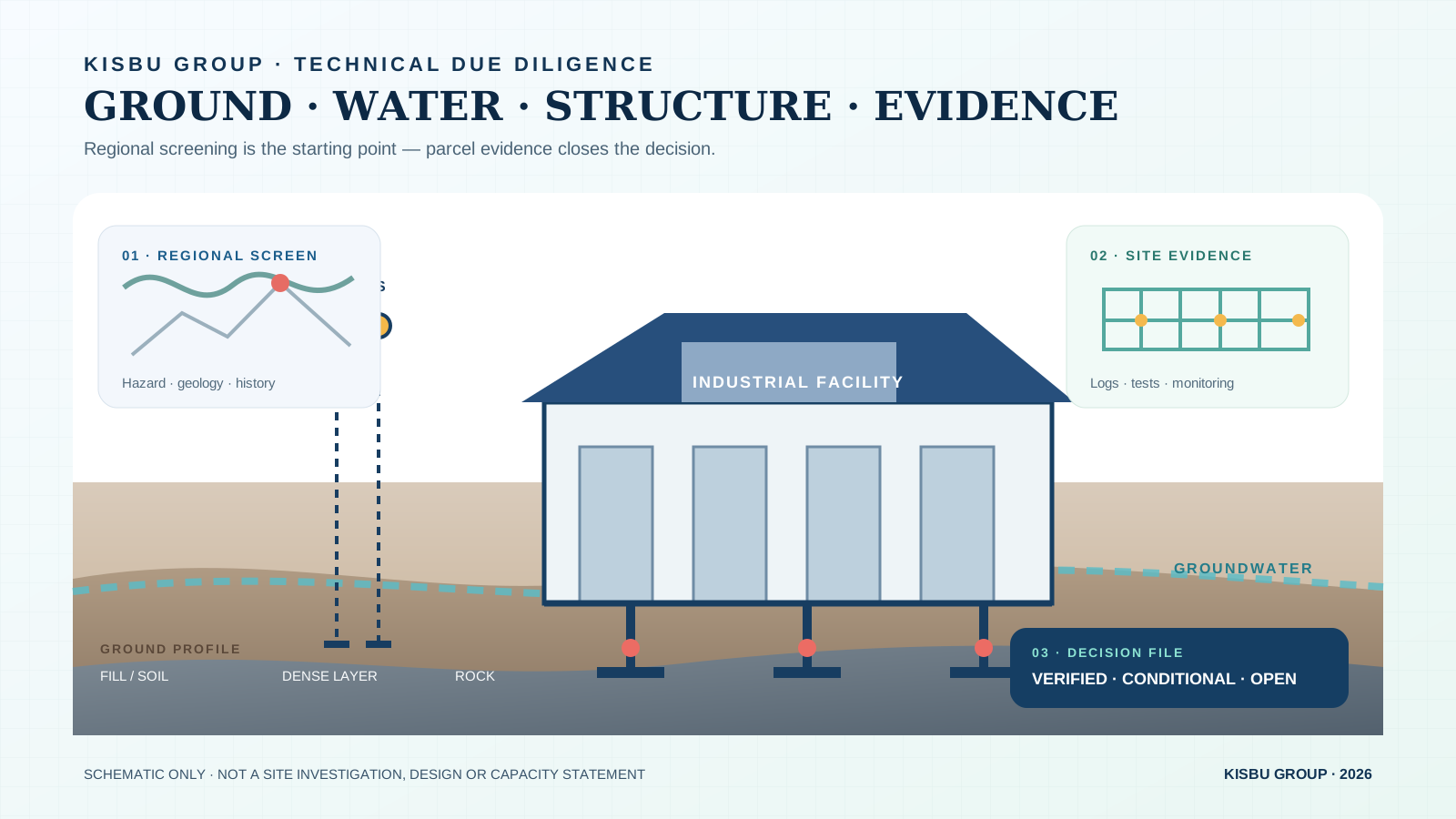
AFAD and MTA maps support screening for regional seismic hazard, active faults and geology. AFAD notes that map values use a reference ground condition and exclude local effects such as liquefaction, amplification and differential settlement.
Desktop information therefore guides questions rather than replaces site work. Maps, archives and nearby evidence help define what boreholes, field and laboratory testing, geophysics and qualified interpretation must verify.
- Plans, topography and previous land use
- Regional geology, fault and hazard screening
- Nearby excavation, fill, water and settlement evidence
- Unknowns and their verification method
02
Write the investigation brief around the facility
Ground investigation is not a standard package detached from the building. Column, rack and machine loads, vibration, pits, basements, retaining, spans and phased growth change the engineering questions.
Turkish rules require the structure, ground, neighbours, groundwater and environment to be considered together. Provide layout, load assumptions, excavation levels and critical equipment—not only the parcel reference. Qualified professionals and the authority determine the final scope.
- Grid, storeys, spans and preliminary loads
- Machine bases, vibration and tolerances
- Basements, pits, ramps, retaining and deep excavation
- First phase and expansion reserve
03
Evidence the ground profile and groundwater
Borehole logs, samples, field and laboratory tests are interpreted together. Uncontrolled fill, compressible soils, weathered rock or a changing profile may lead to different foundation or improvement scenarios.
Groundwater is not one reading on one day. Seasonal change, surface water, adjacent drainage and excavation inflow affect safety, waterproofing, pumping, chemical exposure, uplift and permanent drainage.
- Strata, thickness, continuity and variability
- Origin, age, compaction and records for fill
- Groundwater observations and monitoring need
- Bearing, settlement, liquefaction and excavation
04
Separate seismic hazard from local response
Regional hazard gives shaking inputs for a coordinate; local response depends on the parcel’s strata and groundwater. Two sites with the same map value need not share the same settlement, amplification or liquefaction outcome.
Ground class, design parameters and special studies require field and laboratory evidence. The 2021 amendment details seismic measurements, boreholes or field testing in specified conditions; qualified project professionals select the method.
- Coordinate-based hazard inputs
- Local ground class and dynamic properties
- Liquefaction, amplification and differential settlement
- Ground–structure interaction
05
Connect excavation, levels and drainage to foundations
Slope affects cut–fill, platform level, neighbours, road tie-in, ramps, retaining and safe stormwater routing. These belong in one ground and site strategy.
Overlaying existing and proposed levels reveals high fill, deep cut and low points. This focuses investigation for improvement, temporary support, drainage and phasing without claiming final quantities or cost before detailed design.
- Existing, road and finished platform levels
- Cut–fill, slopes, support and neighbour effects
- Controlled roof and yard stormwater routes
- Construction sequence and expansion reserve
06
Close the decision with an evidence matrix
For each risk, record evidence, responsible specialist, deadline and decision effect. Replace ‘good ground’ with an approved report, test, monitoring record, calculation or specialist opinion.
This guide states no foundation system, bearing capacity, cost or permit suitability for a parcel. KISBU Group develops its own real estate; it is not the administration or official website of the North Marmara Special Industrial Zone. Authorities and qualified specialists must verify decisions.
- Question affecting the decision
- Evidence: report, test, measurement, calculation or formal view
- Status: verified, conditional, open or unsuitable
- Action: owner, date and design/budget impact
+
Related investment solutions
+